London Underground Map vs. New York Subway Map: A Detailed Comparison
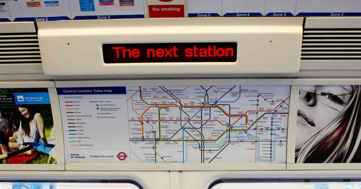
When it comes to navigating the bustling metropolises of London and New York, the importance of a reliable public transportation system cannot be overstated. In London, the iconic London Underground, affectionately known as the Tube, has been a staple mode of transport for generations. The Tube map, with its distinctive crisscrossing lines and color-coded routes, is a familiar sight to all Londoners and visitors alike.
An Iconic Symbol of London: The London Underground Map
The London Underground map, designed by Harry Beck in 1933, revolutionized the way we view subway systems. Beck’s innovative approach to mapping the Tube as a schematic diagram, rather than a geographically accurate representation, has since been adopted by subway systems around the world. The simplicity and clarity of the Tube map make it easy for commuters to navigate the complex network of tunnels and stations beneath the city streets.
A Different Approach: The New York Subway Map
In contrast to the London Underground map, the New York Subway map takes a more geographic-focused approach. The map, designed to reflect the layout of the city streets above ground, emphasizes distance to scale and geographical accuracy. While this may provide a more realistic depiction of the city’s layout, it can also make the map appear cluttered and confusing to some commuters.
Comparing the Two: London vs. New York
A Reddit user recently created a revised version of the London Underground map in the style of the New York Subway map. This new map highlights the sprawling nature of London, with the Tube lines snaking their way across the city and into the surrounding counties. While this revised map may offer a more accurate representation of the city’s size and layout, some commuters have found it difficult to navigate compared to the traditional Tube map.
Overall, the London Underground map and the New York Subway map each have their own unique strengths and weaknesses. While the Tube map excels in simplicity and ease of use, the New York Subway map offers a more realistic depiction of the city’s streets and neighborhoods. Whether you prefer the iconic design of the London Underground map or the geographic accuracy of the New York Subway map, one thing is clear: both maps play a vital role in helping commuters navigate these bustling urban centers.


